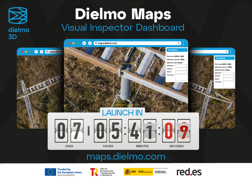
Dielmo Maps, the new cloud-based SaaS platform for processing high-resolution geospatial data, is about to be made available to the public. This launch will take place at the Energy Drone & Robotics Summit in Houston, from June 10th to 12th 2024, where we will be present as sponsors and exhibitors.
The Dielmo maps platform offers online access to geospatial data, with visual inspection tools and customizable report generation. It is the result of our latest R&D project (2021/C005/00146211) – “Massive cloud-based processing solution for real-time high-resolution georeferenced images” – which was subsidized by the European Union and the Spanish Ministry of Digital Transformation, through the Red.es entity. The differential factors that make our platform unique can be found here.


