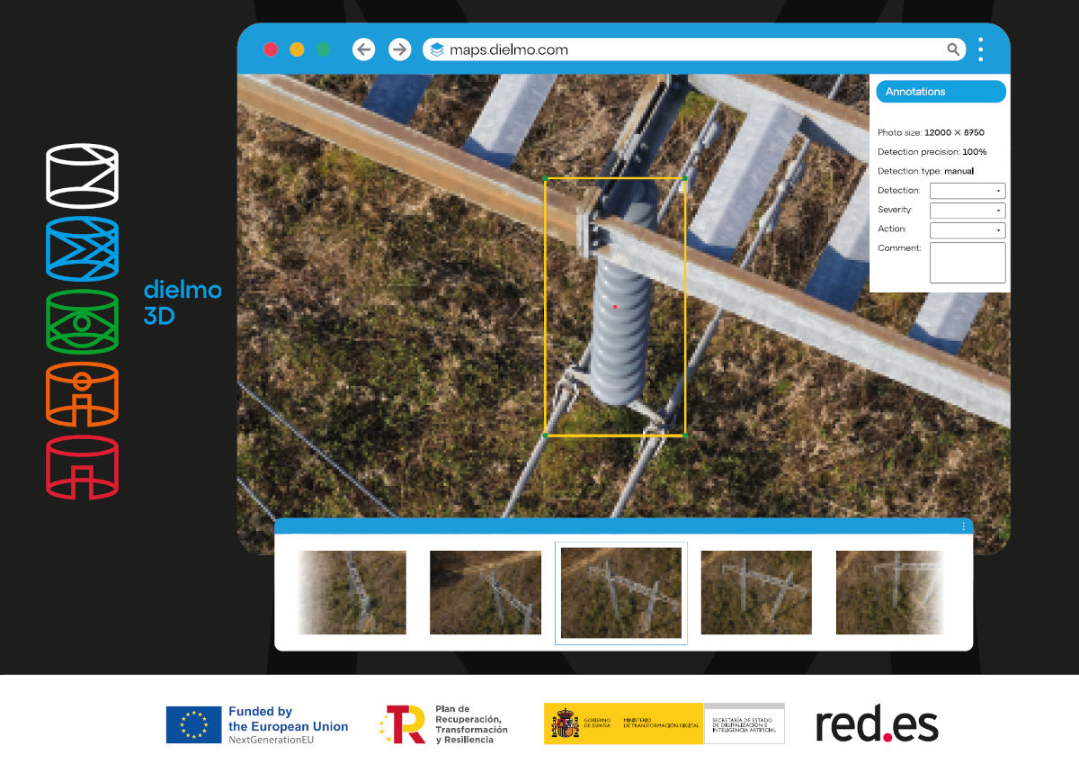
At DIELMO 3D, we have been working for over 15 years in developing technologies for the publication of geospatial data through the internet. For example, in 2010, we already had our technology for publishing LiDAR data through a profile and 3D tool in a browser, which was groundbreaking at the time and still very powerful today.
Over the years, we have rewritten our web geoportals tool several times, obtaining a more modern and intuitive appearance. However, we faced two major challenges in commercializing it – the time required to register a new client solution, and the complexity of publishing new data by our users within geoportals.
These were two of the challenges that we aimed to address at the start of our latest R&D project (2021/C005/00146211): “Solution for real-time cloud massive processing of high-resolution georeferenced images” funded by the European Union and the Ministry of Digital Transformation of Spain through Red.es. Our goal has been to address complex challenges in society by developing experimental solutions supported by various digital technologies, such as cloud computing, massive data processing, and AI.


